SatVista
Looking down at Earth from space
SatVista offers a diverse collection of satellite images (‘SATellite VISTA’) and cartographic representations. Enjoy the experience.

Instagram: @sat.vista
__________________
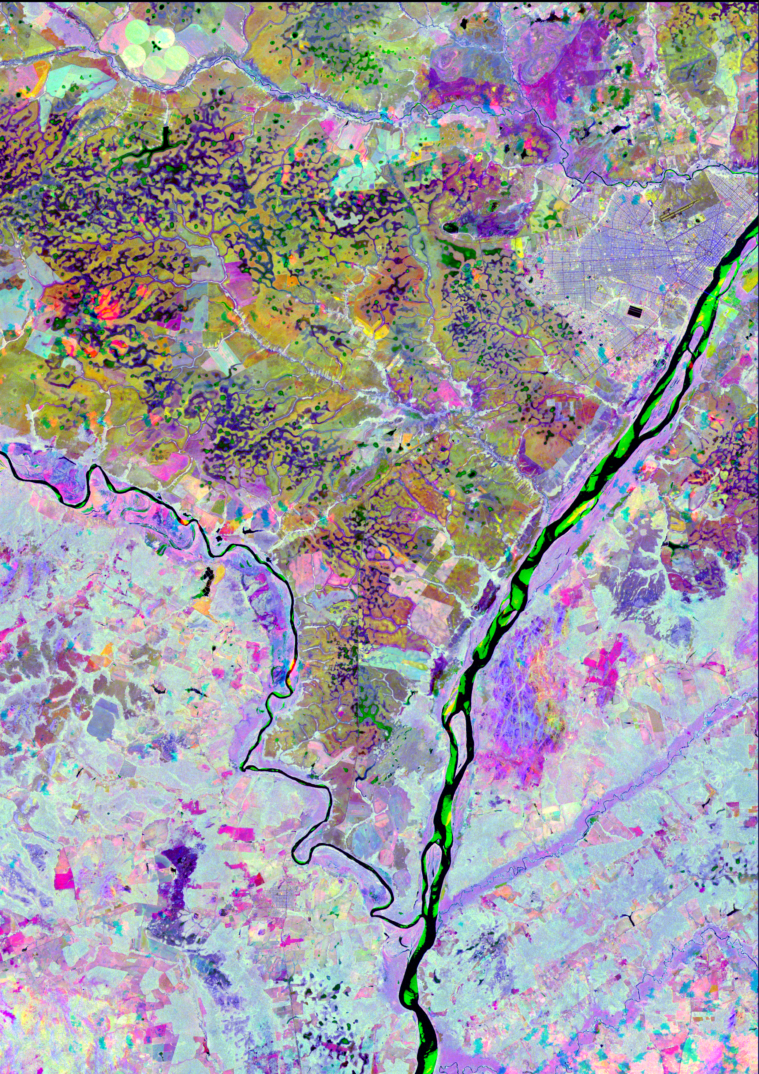
This satellite composition provides a unique view of the Lavrados region in Roraima, Brazil. By integrating radar and optical data from multiple dates, this image brings out the stunning and distinctive features of this remarkable area. The combination of small lakes, winding rivers, sandbanks, urban developments, agricultural zones, and the lush tropical Amazon rainforest creates a striking visual contrast that highlights the region's uniqueness. This combination of data and sensors offers a comprehensive view, revealing not just the landscape but also the intricate interactions between natural and human-made elements in the Lavrados region.

_______________
-Satellite Imagery: Sentinel-2 and Sentinel-1
-RGB: False color (NIR and VH), sourced from multiple dates
-Dates: Red: September 13, 2019 (NIR - Sentinel-2), Green: April 1, 2019 (NIR - Sentinel-2), Blue: August 14, 2019 (VH - Sentinel-1)
-Location: Lavrados of Roraima, near Boa Vista, Roraima, Brazil
_______________
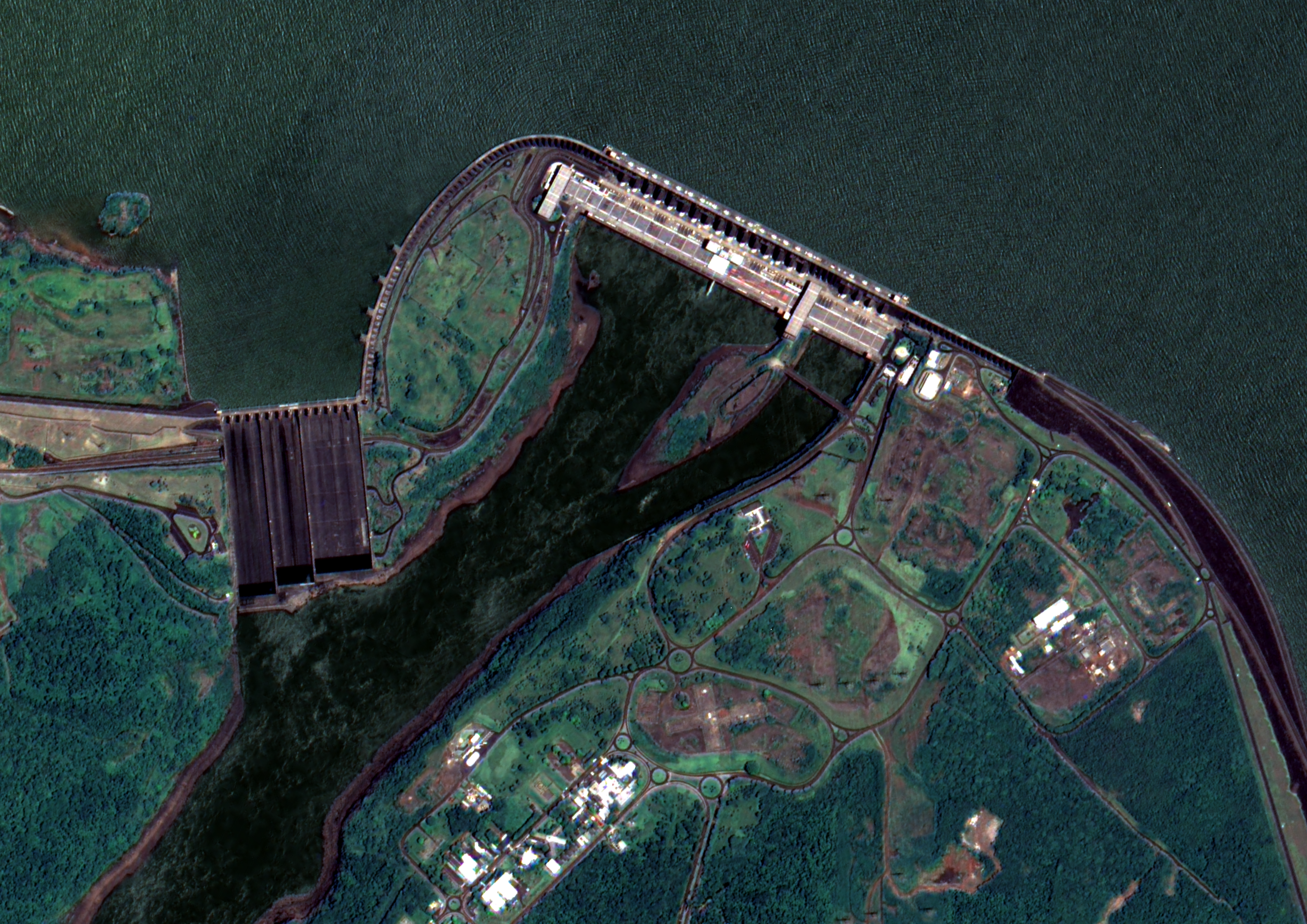
The Brazilian-China satellite (CBERS-4A) image has a high spatial resolution (2 meters, considering the Panchromatic band). It serves as a potent data source for mapping and monitoring the South American region. When zooming in on the Itaipu Dam, the details are remarkable. These images are truly amazing (and free)!

_______________
-Satellite Image: CBERS-4A
-RGB: True Color and False color (NIR-RED-GREEN)
-Date: January 07, 2024
-Location: Foz do Iguaçu, Brazil; Ciudad del Este, Paraguay; and Puerto Iguazú, Argentina.
_______________
-Satellite Image: CBERS-4A
-RGB: True Color and False color (NIR-RED-GREEN)
-Date: January 07, 2024
-Location: Foz do Iguaçu, Brazil; Ciudad del Este, Paraguay; and Puerto Iguazú, Argentina.
_______________