Working with Geotagged Photos
Trabalhando com Fotos Georreferenciadas
Se você quiser extrair coordenadas GPS de suas fotos para construir seu próprio site, testar um modelo ou apenas por diversão, o Python pode ajudá-lo a fazer isso! Enquanto softwares como QGIS e ArcGIS podem lidar com essa tarefa, usar o Python oferece flexibilidade e automação. Você pode encontrar todo o material necessário no meu repositório. Confira um exemplo aqui.
O repositório fornece todos os detalhes necessários para reproduzir o código. Teste usando nossas fotografias de amostra.
Importante: Certifique-se de habilitar seu smartphone para capturar coordenadas GPS com as fotos.
Português no começo
Working with Geotagged Photos
If you want to extract GPS coordinates from your photos for building your own website, testing a model, or just for fun, Python can help you do that! While software like QGIS and ArcGIS can handle this task, using Python provides flexibility and automation. You can find all the necessary materials in my repository. Check out an example here.
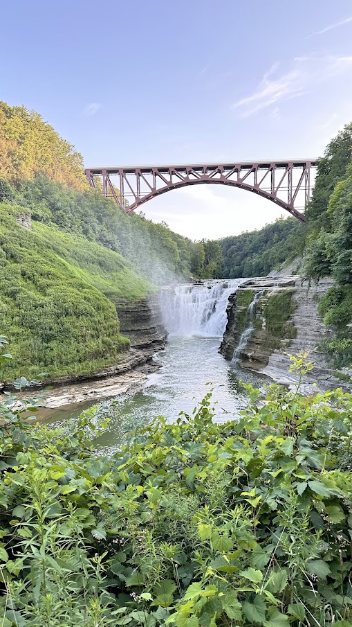
The repository provides all the details needed to reproduce the code. Test it out using our sample photographs.
Important: Make sure to enable your smartphone to capture GPS coordinates with the photos.
Discover Michigan
- Here is some samples of pictures (ALL in MICHIGAN). Zoom out to see more points, and click in the point to see the photo. Enjoy Michigan!
Enjoy Reading This Article?
Here are some more articles you might like to read next: