New model for precision frost impact mapping
FAPESP Agency — A new tool using remote sensing has been developed to map frost impacts on corn crops with significantly higher precision. This methodology reduces uncertainties regarding agricultural losses and provides valuable data for public policy and insurance adjustments.
The research, which resulted in the article “GEEadas: GEE-based automatic detection of adverse-frost stress”, was conducted in collaboration with researchers from the National Institute for Space Research (INPE) and other institutions.
Read the full story at Agência FAPESP (Portuguese) or access the research paper at ScienceDirect.
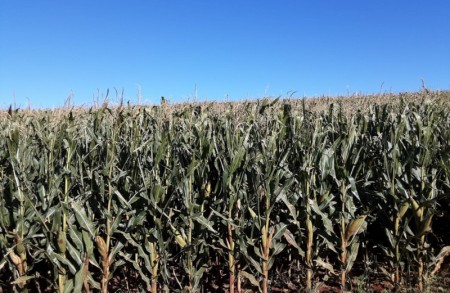 Photo by CONAB.
You can consult the results of the model in the Google Earth Engine app below.